I-49 LAFAYETTE CONNECTOR
ACADIANA’S PATH FORWARD
*Conceptual design: not actual rendering
Join us at the next open house public hearing event on September 2nd to review the Draft Supplemental Environmental Impact Statement (DSEIS).

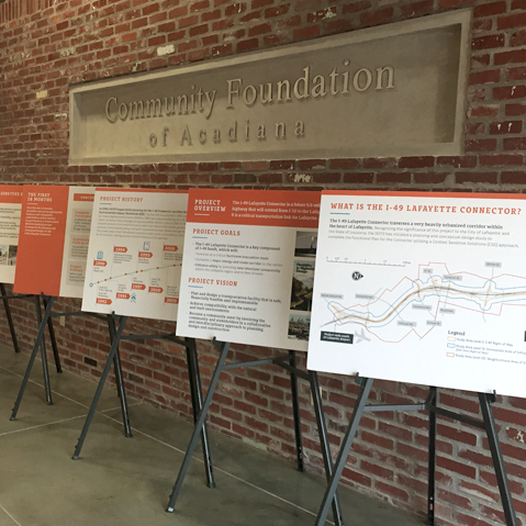

About the Project
The I-49 Lafayette Connector is a future 5.5-mile segment of highway that will extend I-49 from I-10 to the Lafayette Regional Airport. It is a critical transportation link for Lafayette and the state as a whole. The I-49 Lafayette Connector is a key component of I-49 South, which will function as a critical hurricane evacuation route, complete a major energy and trade corridor to the nation and enhance safety by providing new interstate connectivity within the Lafayette region and to New Orleans. For more information about the project and planning, visit the Project Overview.
Our Philosophy
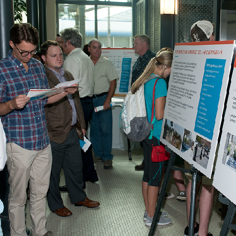
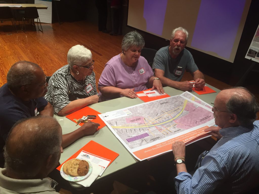
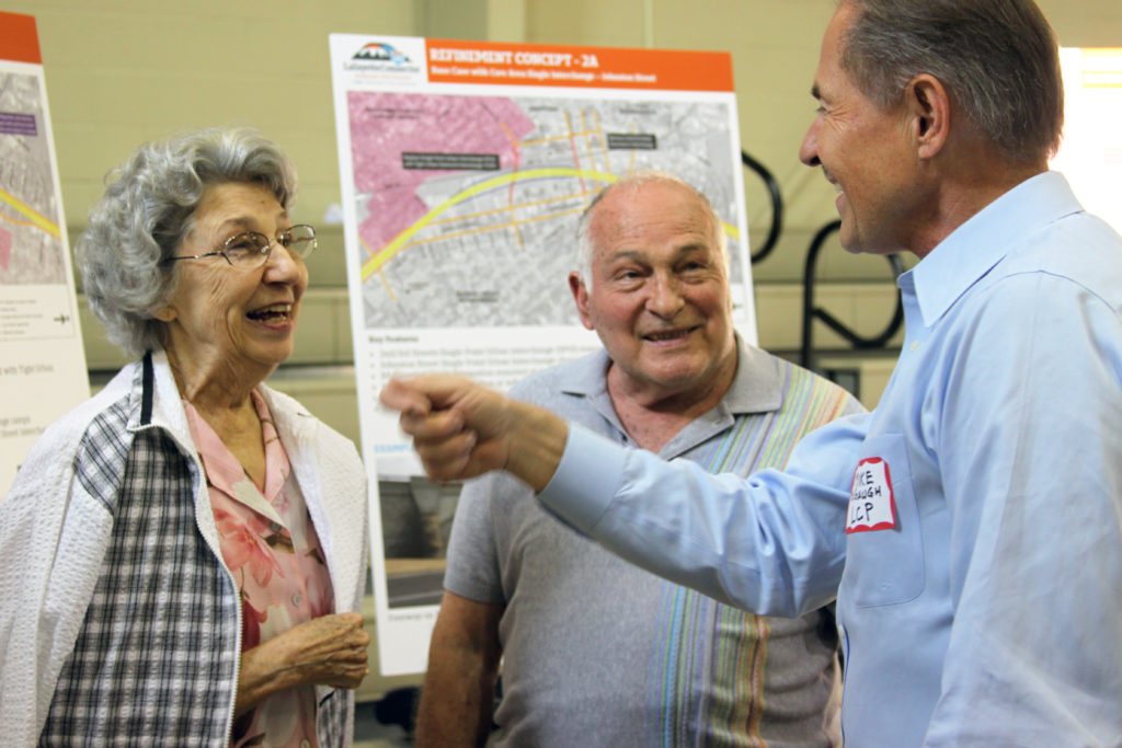
The I-49 Lafayette Connector project is an initiative rooted in community collaboration. It presents the opportunity to revitalize and beautify Lafayette’s gateway, strengthen infrastructure and improve safety and multi-modal transportation, all while preserving the community’s cherished, historic and business districts. It truly represents Acadiana’s path forward.
Project History
Project Update
The I-49 Lafayette Connector Project has reached an important milestone with the publication of the Draft Supplemental Environmental Impact Statement (DSEIS). Prepared by the Louisiana Department of Transportation and Development (DOTD) in coordination with the Federal Highway Administration (FHWA), the DSEIS evaluates the proposed project, including its purpose and need, design features of the roadway, right-of-way acquisition process, relocation assistance program, consistency with local urban planning goals and objectives, and foreseeable social, economic, and environmental impacts.
As part of the National Environmental Policy Act (NEPA) process, DOTD and FHWA will host a Public Hearing to provide an opportunity for the public to review the findings presented in the DSEIS, ask questions of the project team, and submit comments for consideration as part of the official environmental review.
The Public Hearing will be held on Wednesday, September 2, 2026, at the Downtown Convention Center, 124 S. Buchanan Street in Lafayette. An open house will be held from 4:30 p.m. to 6:00 p.m., followed by a Public Comment Session beginning at 6:00 p.m. Attendees are encouraged to review project information during the open house and may provide comments either during the open house or as part of the Public Comment Session.
The Draft Supplemental Environmental Impact Statement and supporting hearing materials will be available online on or before the hearing date. Written comments submitted at the hearing or received by September 12, 2026, will be included in the official hearing transcript and considered as part of the NEPA review process.
Additional information, project documents, and hearing materials can be found throughout this website as they become available.
To better involve the public in the process, DOTD has created the I-49 Virtual Meeting website, a virtual reality “room” that allows the community to envision the proposed Connector. The website features a VR scale model of the 5.5-mile I-49 Connector. The immersive experience allows viewers to see how structural components like walls, barriers, and piers could look with different proposed designs.


Stay Informed

DOTD Launches Virtual Reality Website of I-49 Lafayette Connector
The Louisiana Department of Transportation and Development (DOTD), along with national, state, regional and local partners, are moving forward with the Context Sensitive Solutions (CSS) process for the I-49 Connector Project. To involve more stakeholders in the CSS…
Update: DOTD advises motorists of field testing along US 167
Update: DOTD advises motorists of field testing along US 167 The Louisiana Department of Transportation and Development advises that crews will be continuing field testing along US 167 (Evangeline Thruway) from 6th Street to Taft Street. Work is anticipated to start…
DOTD advises motorists of field testing along US 167
DOTD advises motorists of field testing along US 167 The Louisiana Department of Transportation and Development advises that beginning Monday, June 15 crews will be conducting field testing along US 167 (Evangeline Thruway) from 6th Street to Taft Street. Work is…
Our DOTD Agency Partners

